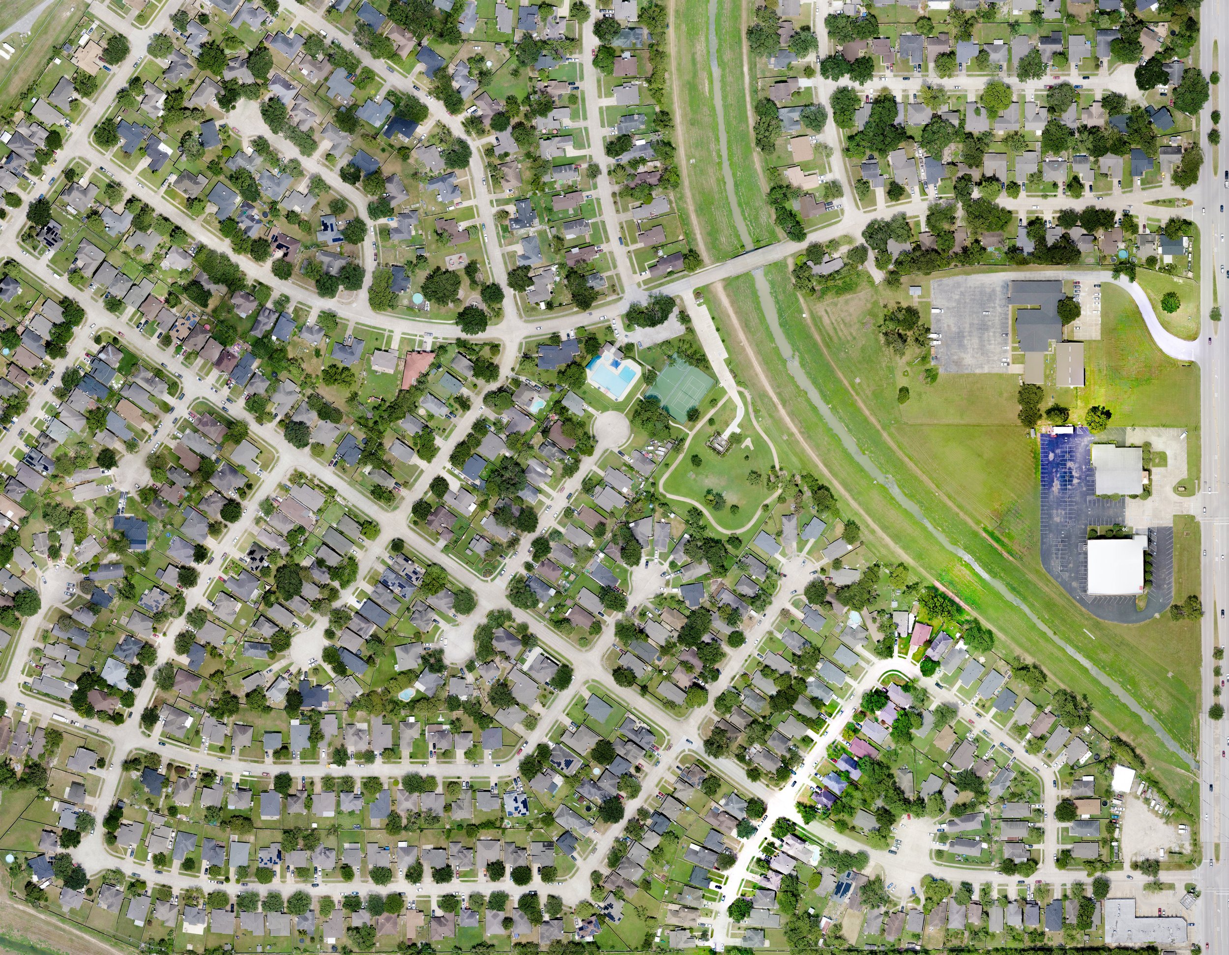
Why Use a Drone for Mapping Purposes?
Drone mapping provides a detailed, topographical depiction of an area using high-resolution aerial imagery. Unlike a licensed survey—which legally defines boundaries and measurements—drone mapping focuses on creating comprehensive, visual representations of terrain features. Here’s why it’s a smart choice:
Here’s why it’s a smart choice:
Detailed Topographical Depiction:
Drones capture high-quality images that, when combined, produce detailed maps showcasing elevation changes, contours, and natural features such as vegetation, water bodies, and landforms.Efficiency & Speed:
Covering large areas quickly, drones enable rapid data collection. This is perfect for projects that require near-real-time updates, such as environmental monitoring or urban planning.
Cost-Effective Data Collection:
Drone mapping is typically more affordable than traditional mapping methods. It offers substantial detail without the higher costs associated with licensed surveying.
Versatile Applications:
Ideal for various industries—from agriculture to urban development—drone mapping provides a visual overview that supports decision-making and project planning. It’s a great tool for tracking changes over time or planning renovations and expansions.Clear Distinction from Licensed Surveys:
While drone mapping delivers a rich, visual interpretation of the terrain, it is not a substitute for a licensed survey. If you need legally binding measurements or boundary definitions, a professional surveyor should be consulted.
Using drones for mapping offers businesses and property owners a modern, efficient, and economical way to understand and manage their land—all while complementing, not replacing, formal surveying services.
Please note that surveys/surveying can only be done by a licensed/board certified surveyor and that is not what we do.
Contact us if you have any questions or if you want to schedule an appointment.
Make sure to read our Flight Information.


